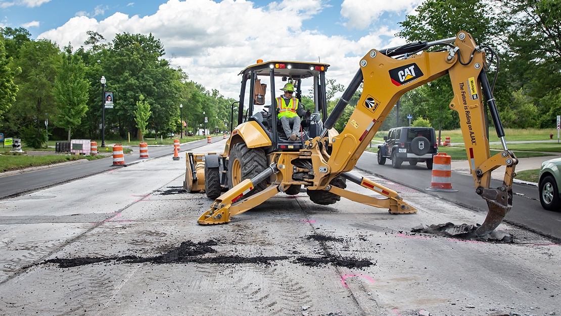
Land Surveying

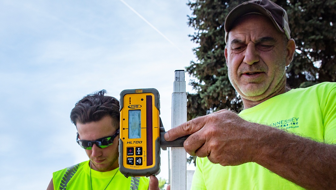
Our team of highly skilled land surveyors uses the latest equipment and follow an integrated design approach to obtain data quickly. From commercial to residential developments, buildings to roads, Hennessey’s land surveying team provides meaningful data to help our clients navigate construction projects efficiently.
Using a global positioning system (GPS), total stations, and electronic data collectors, we can collect all site data and send it directly to our design staff, resulting in quick turnaround times and reduced project costs. Throughout the entire surveying process, our field crews and office staff maintain an open line of communication with our clients to ensure the accuracy and completeness of the project.